Archivo Ausente is a documentary photography project that explores everyday life in Peru through virtual journeys on Google Street View, reflecting on how technology redefines our way of observing and documenting territory. Each coordinate becomes a trace of presence within a Peruvian landscape where photography happens without the photographer, challenging the need to be there in order to see.
Junin S/U
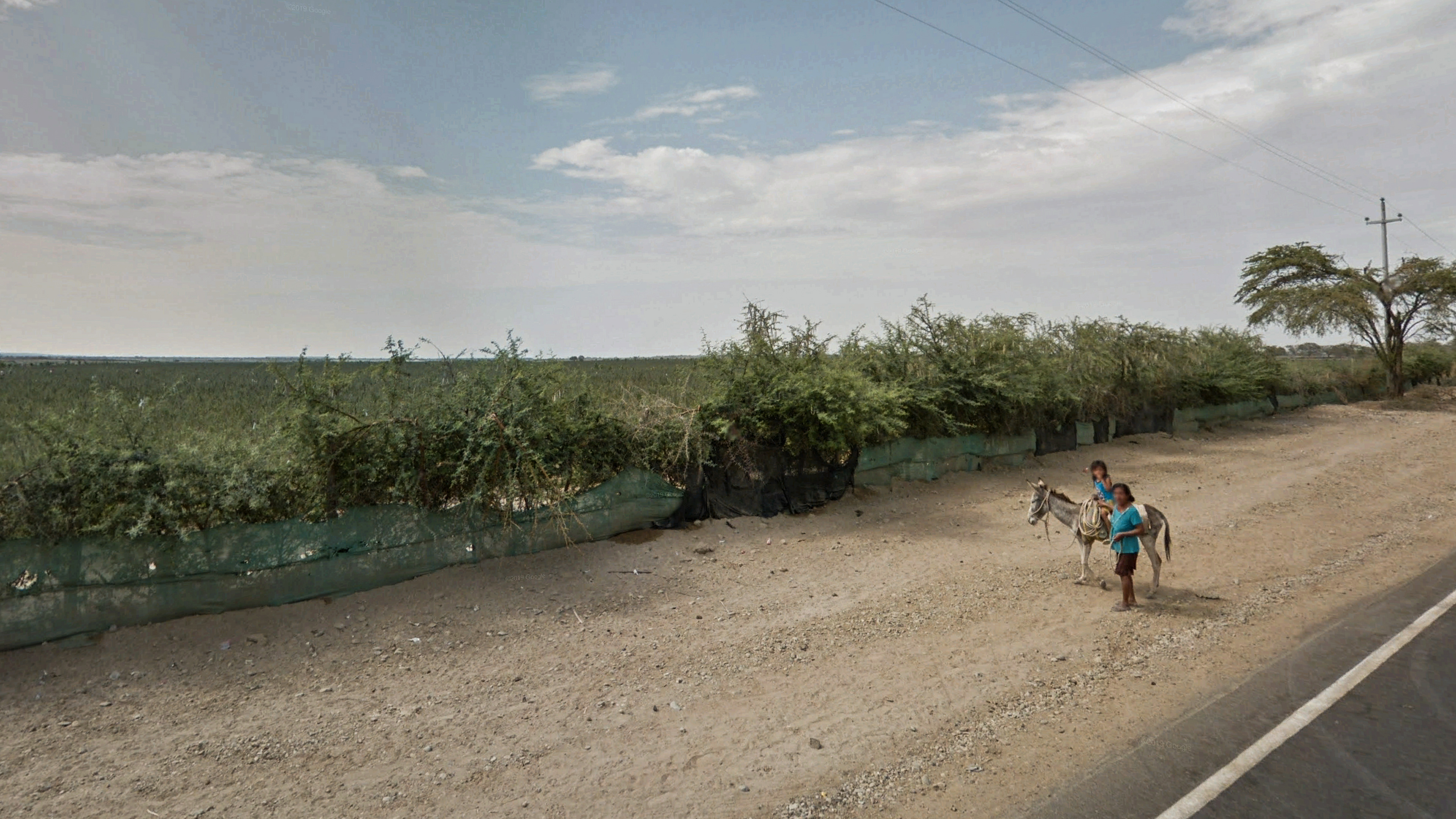
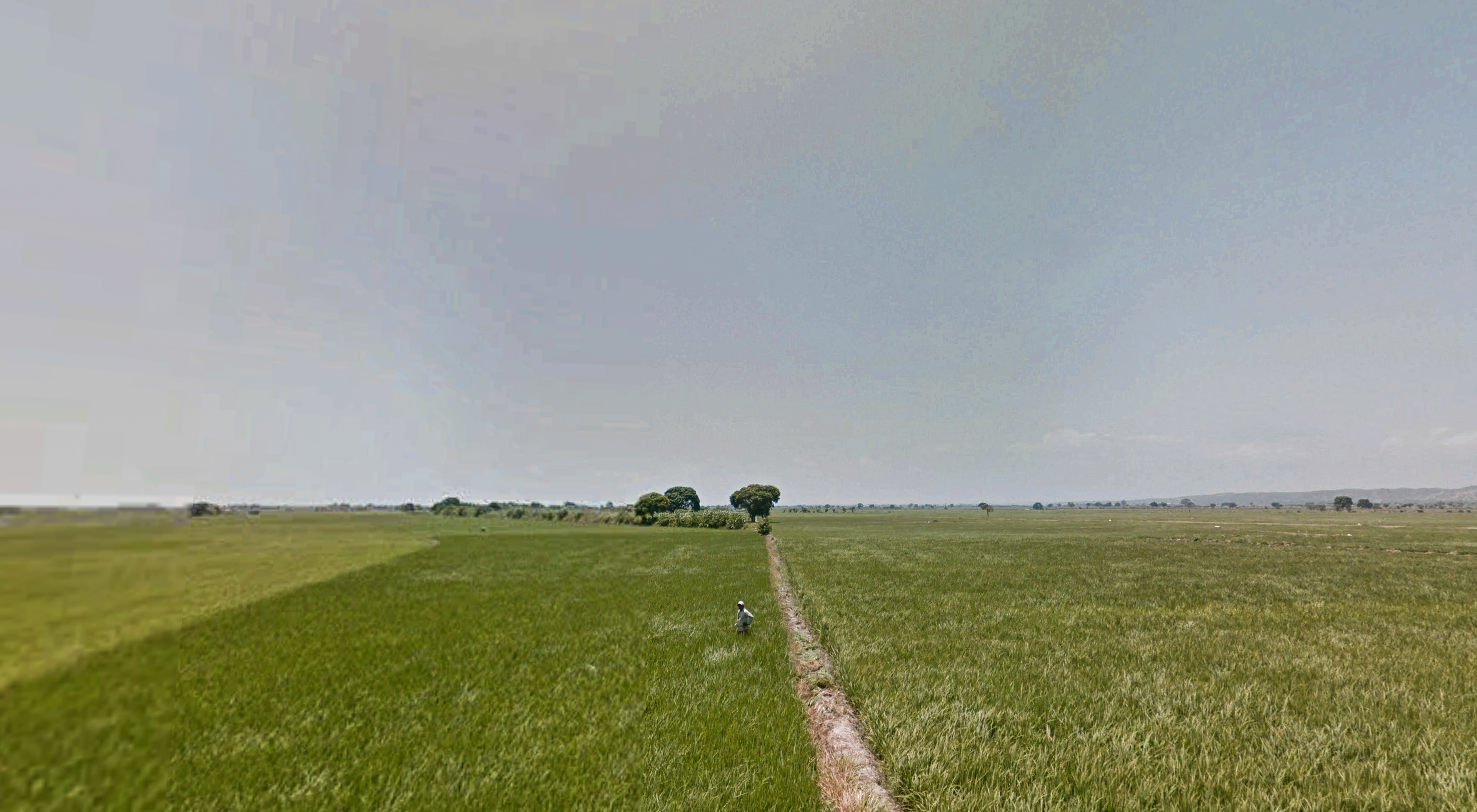
La Obrilla, Piura. -4.984643° -80.570468°
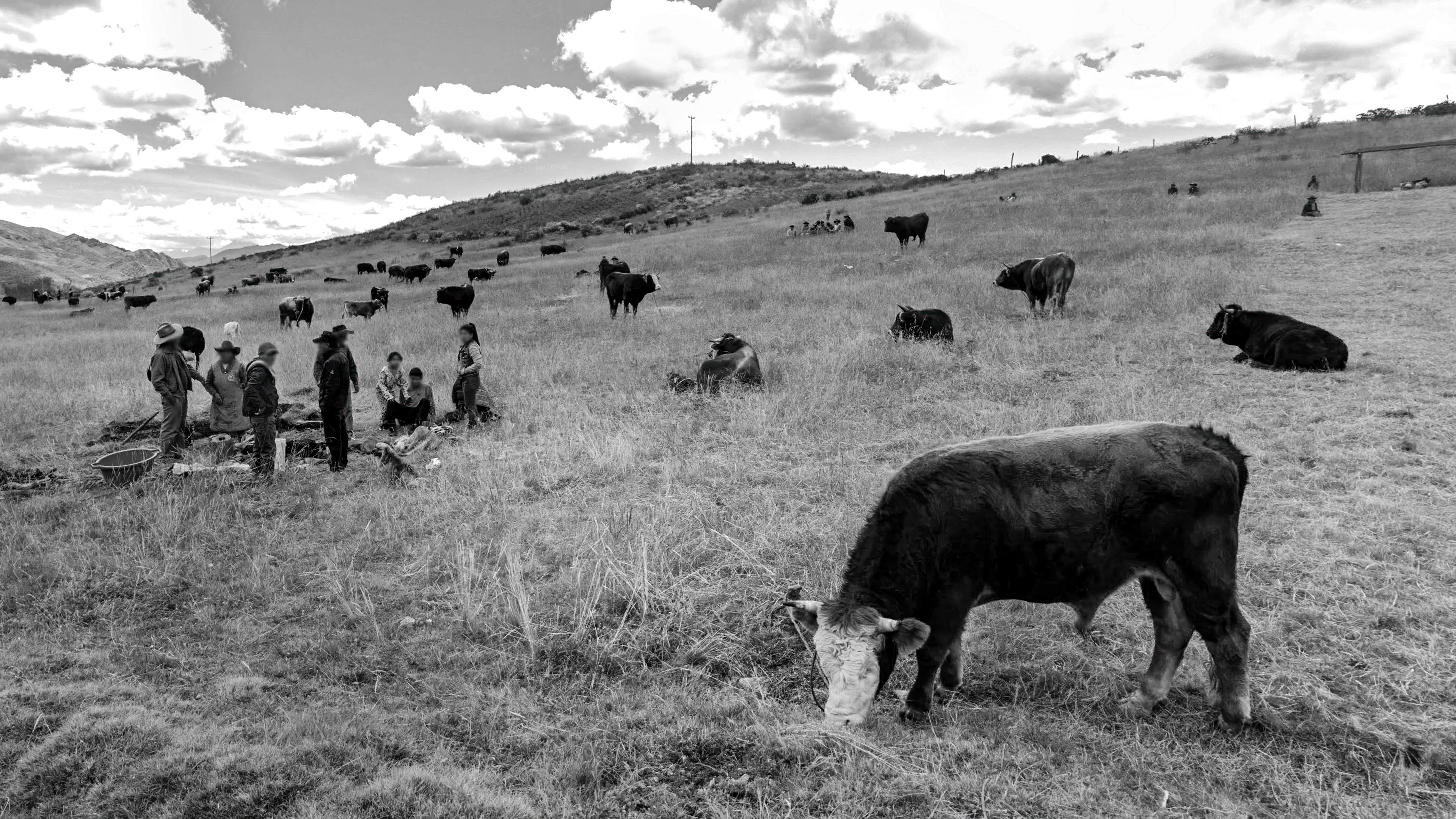
Huanoquite, Cusco. -13.667127° -72.059726°
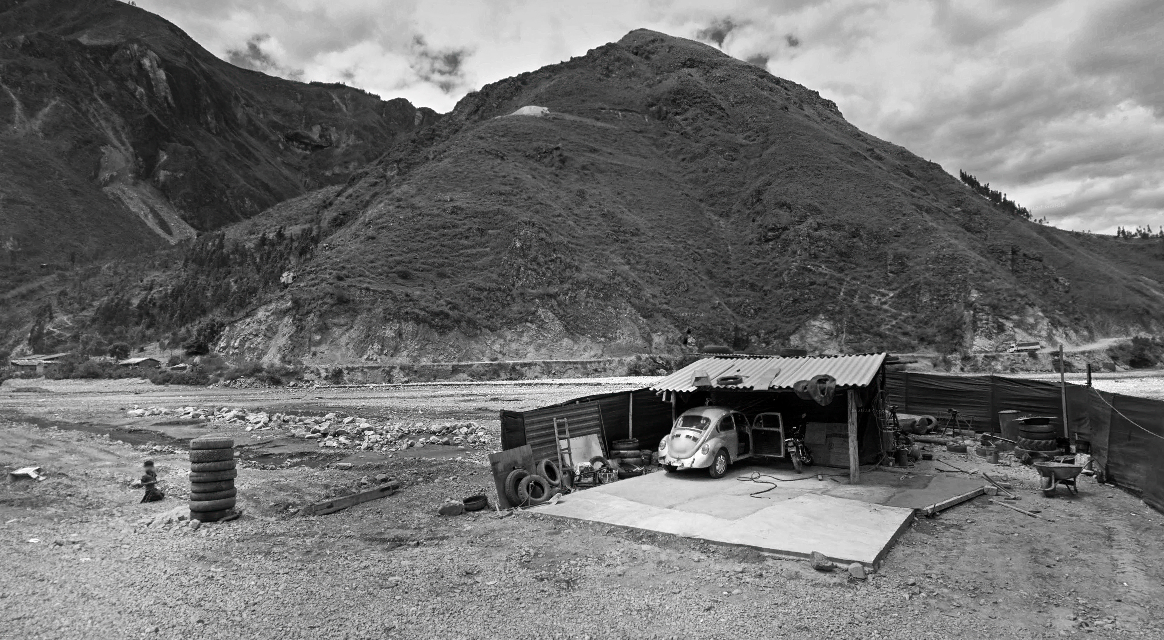
El Pallar, La Libertad. -7.792987° -77.907041°
La Jota, Tumbes -3.607912° -80.548652°
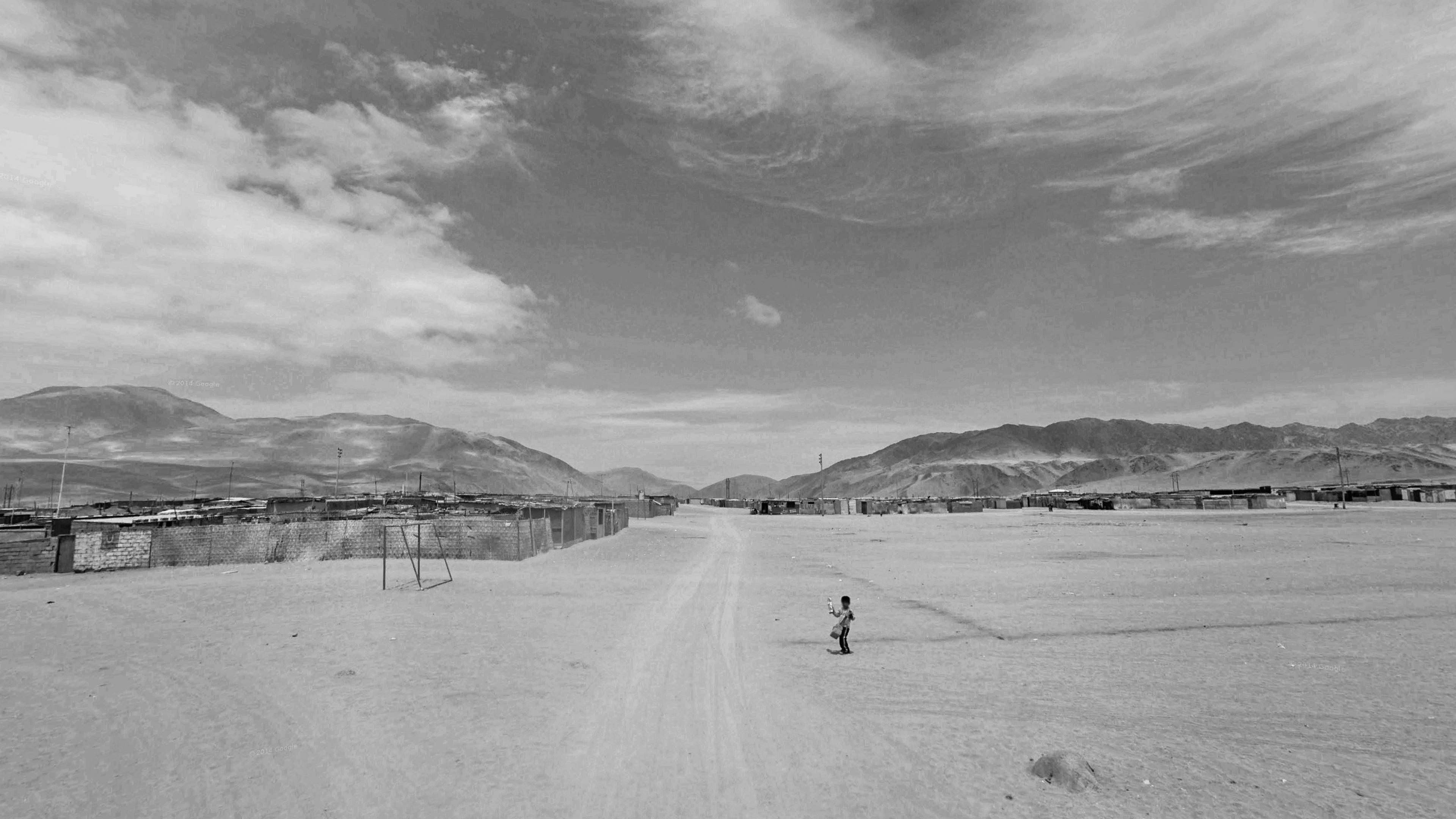
Ilo, Moquegua. -17.639969° -71.306176°
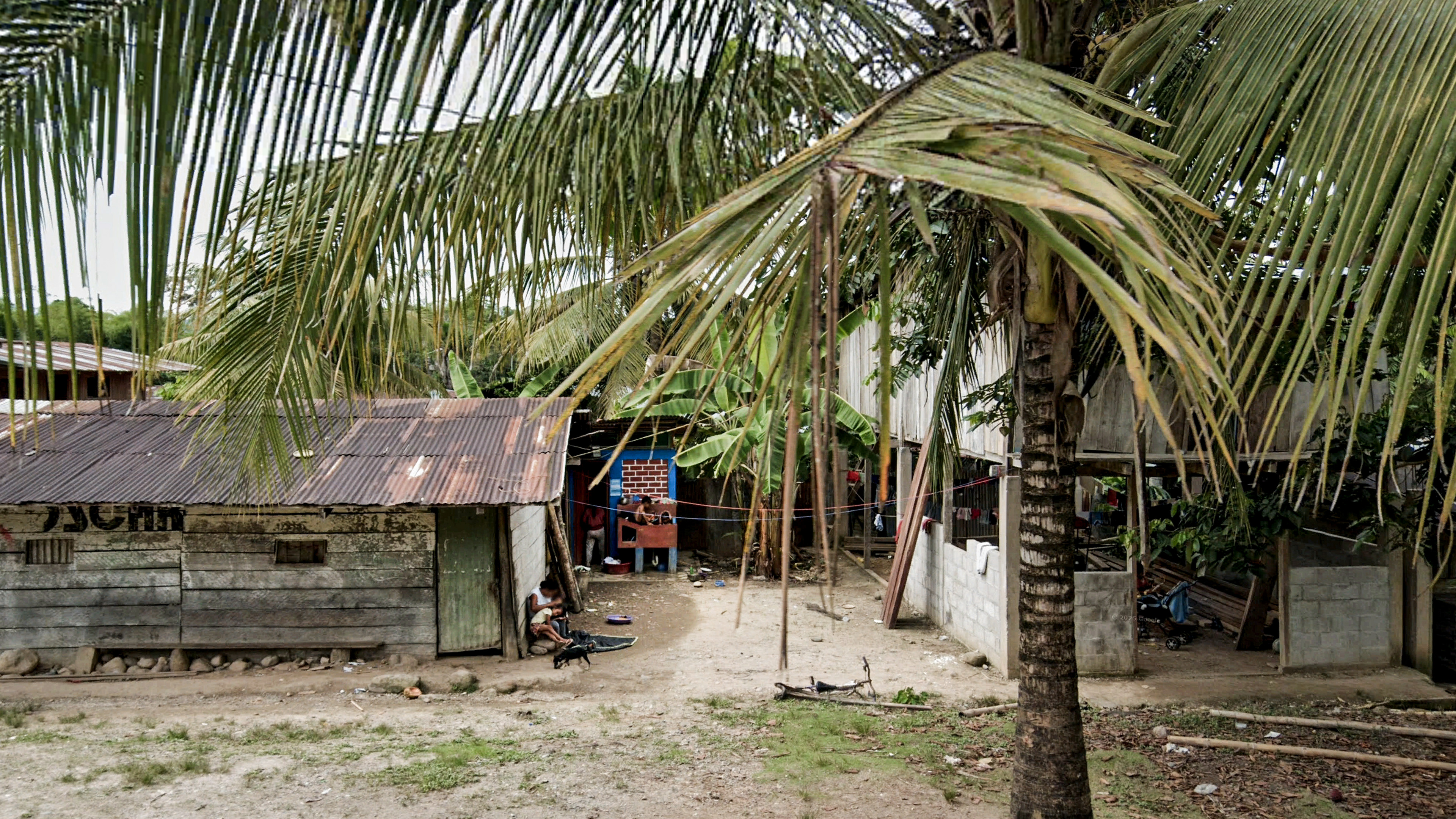
Imaza, Amazonas -5.202142° -78.325298°
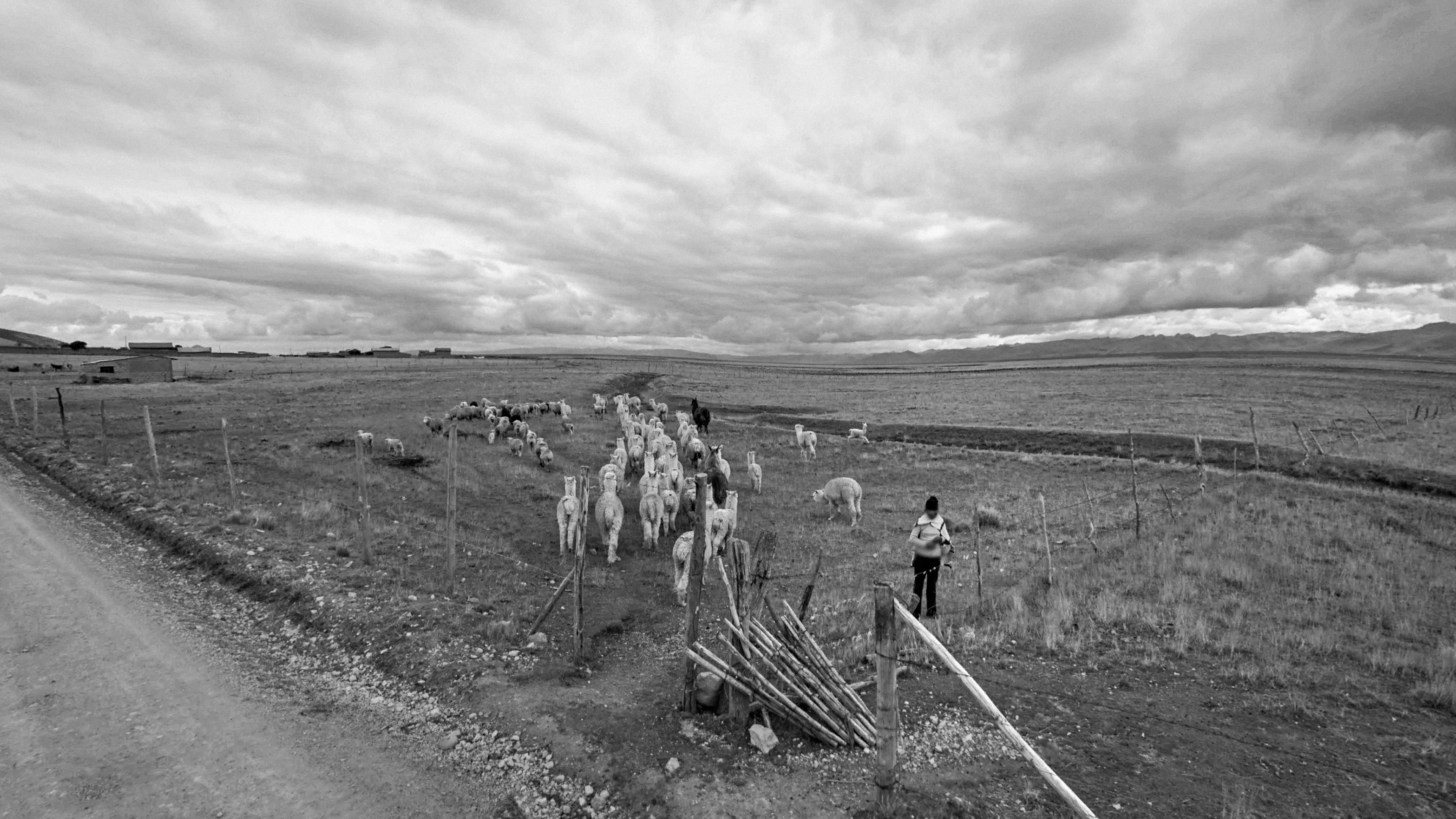
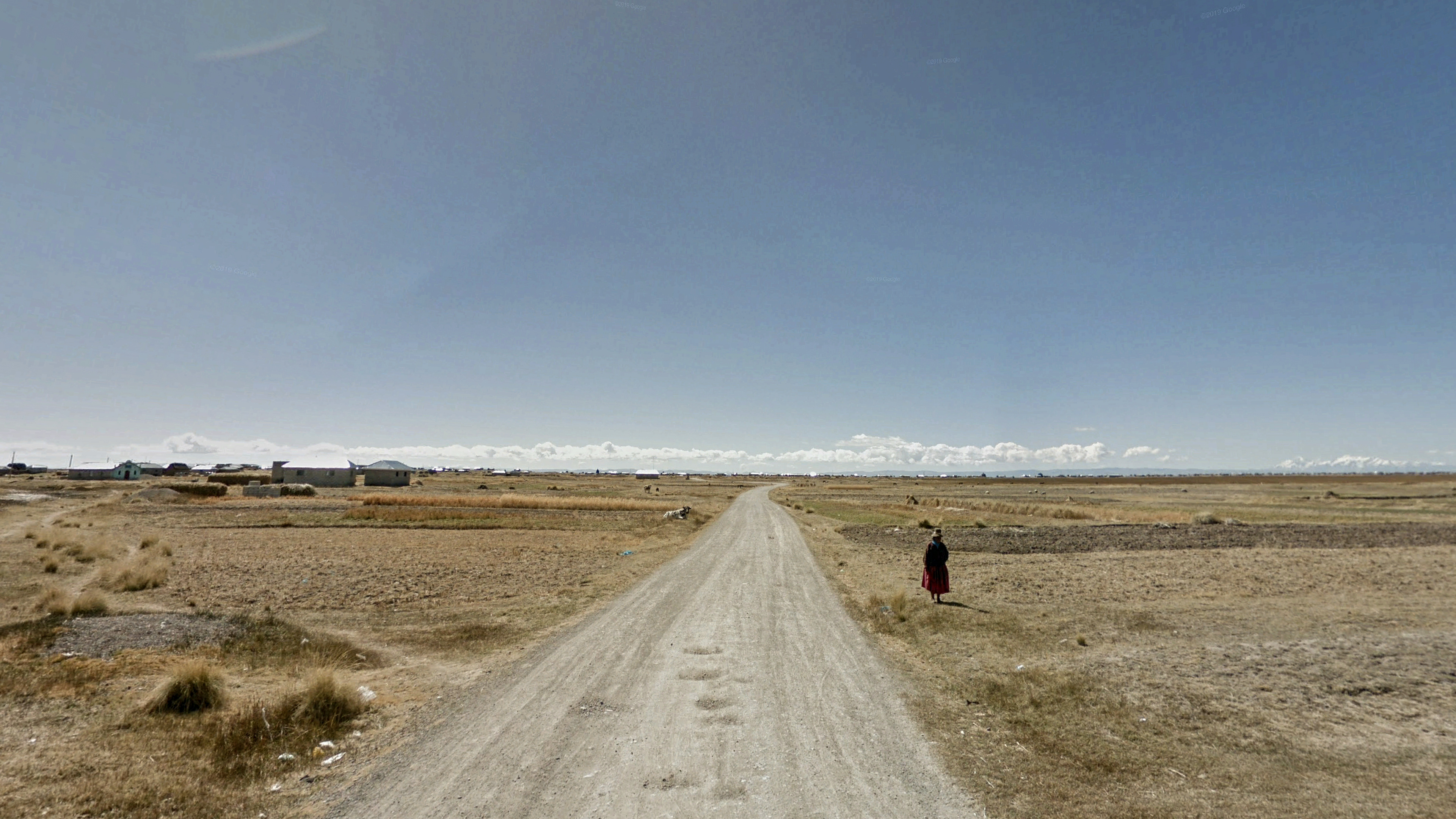
Laguna Parata, Puno -16.010134° -69.483372°
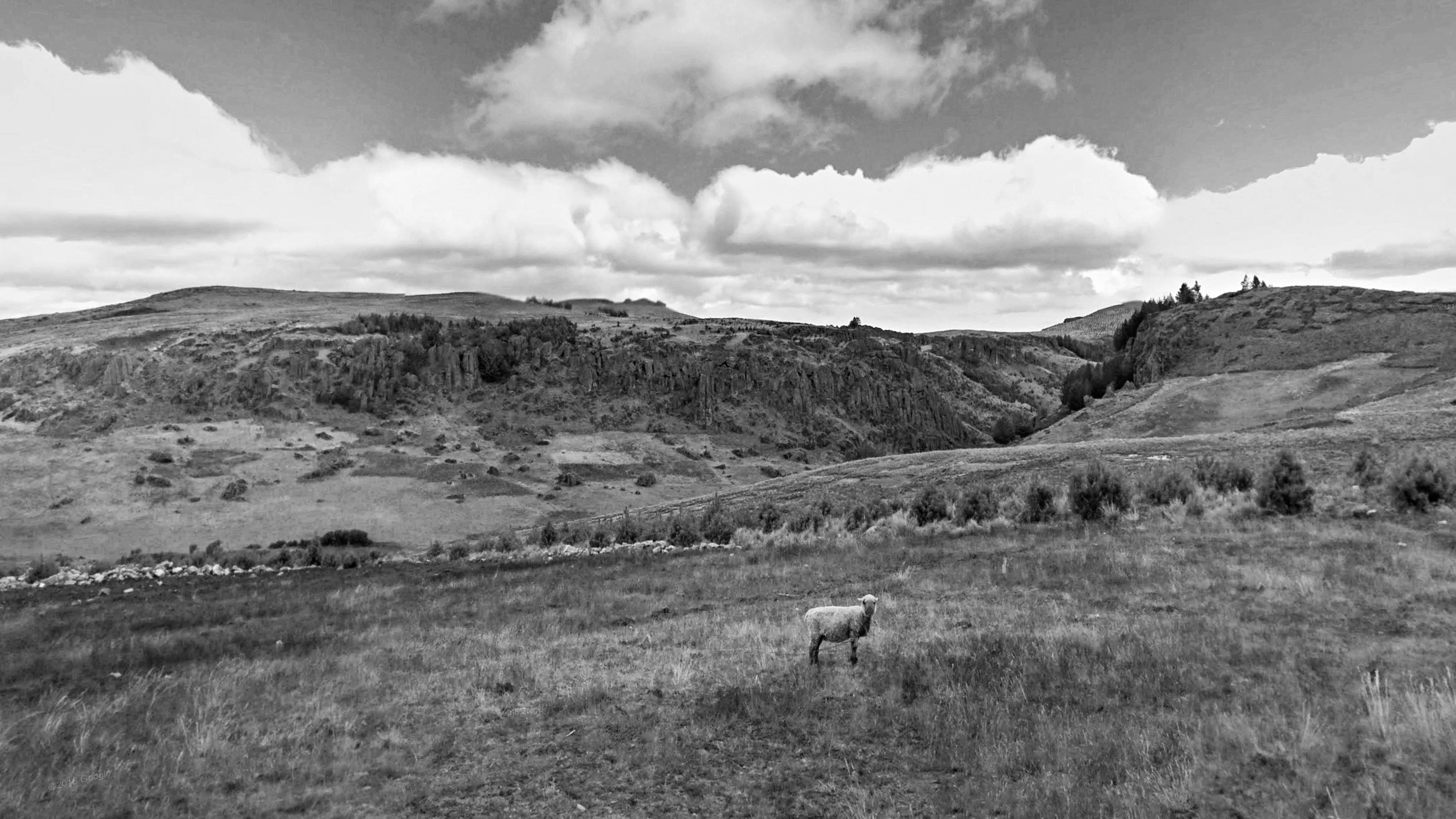
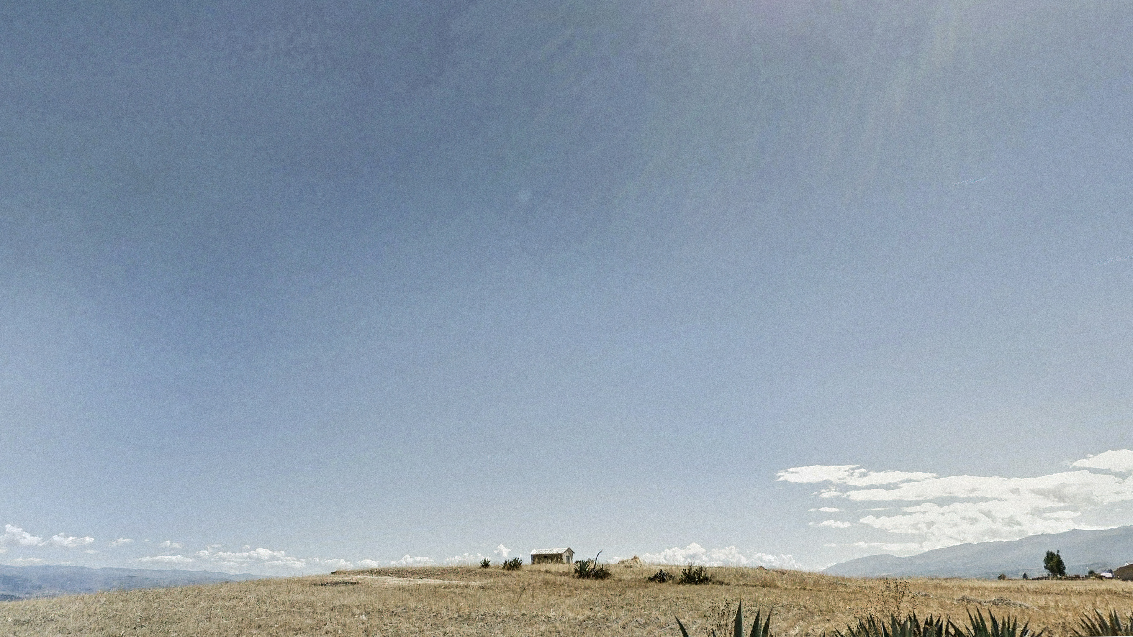
Cumbemayo, Cajamarca -7.191159° -78.572977°
San Juan de Pacuaro, Ayacucho. -13.174595° -74.115952°
This project uses images sourced from Google Maps and Google Street View as part of a creative and documentary exploration. All materials are employed strictly within Google’s terms of service and for non-commercial, artistic purposes.